

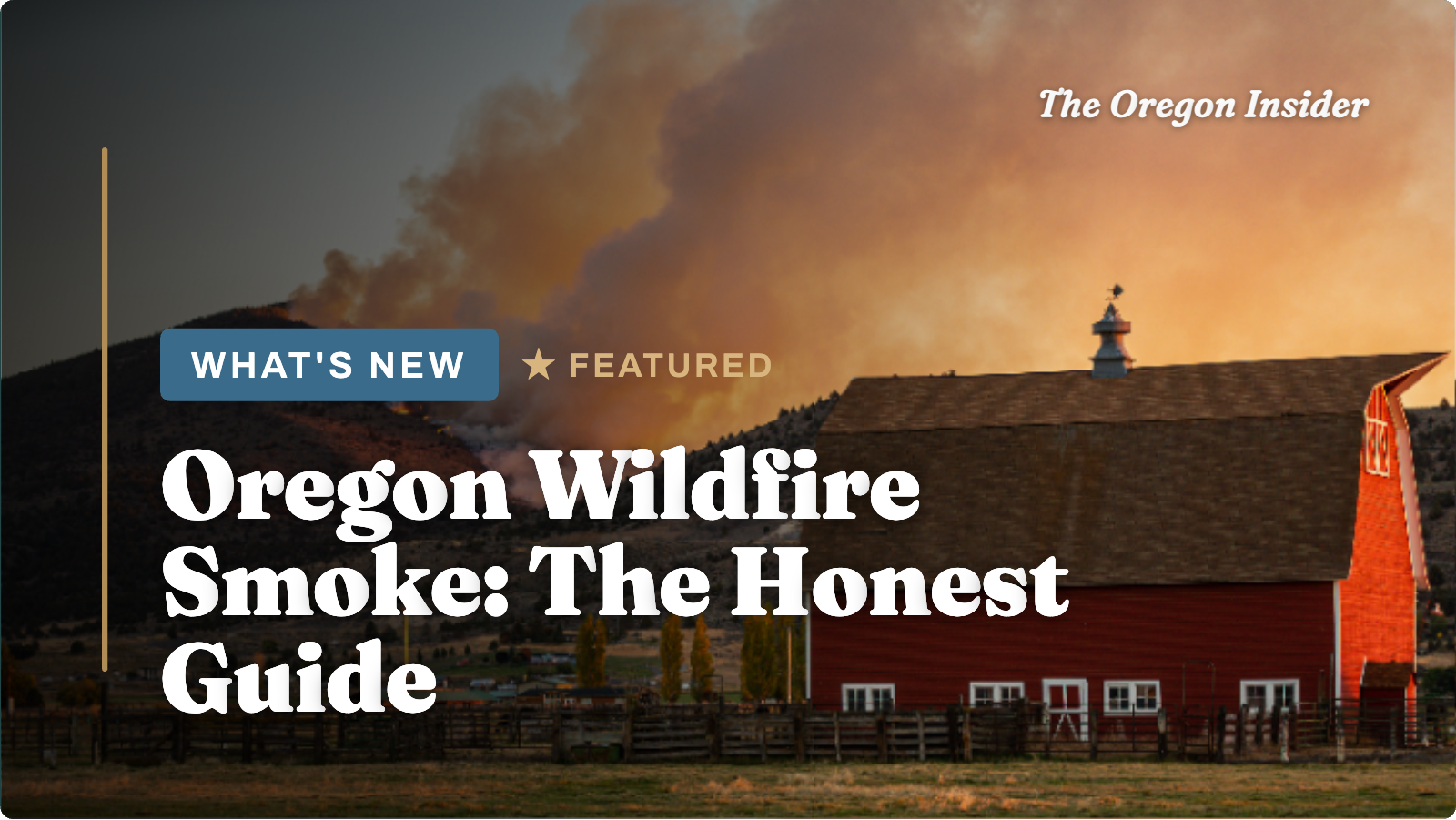
Should you still come? The honest answer, region by region, plus how to read the AQI like a local, which tools actually matter, and where the smoke usually doesn’t reach.
Most Oregon travel content skips this topic entirely, or buries it in a vague line about “checking conditions before you go.” We’d rather just tell you what’s true: wildfire smoke is a real part of Oregon summer and fall, it’s gotten more common over the last decade, and it can affect a trip if you don’t know how to work around it.
It’s also completely manageable. You just need to understand three things: how the season actually behaves, how to read conditions in real time, and which parts of the state usually stay clear even when others don’t. This guide covers all three. There’s also a live-conditions section right below this paragraph, because “how does smoke season work in general” and “should I worry about my trip next week” are two different questions, and you deserve a straight answer to both.2026 Season Status.
Check before you travel. Last updated early August 2026
⚠ Live ConditionsThis has been an active fire season. As of late July, wildfires had burned more than 1 million acres statewide, with dozens of large fires on the landscape, well above where a typical year sits at this point in the season. Oregon activated its Emergency Conflagration Act, and more than 10,000 firefighters have been working multiple large fires concentrated mostly in central and eastern Oregon.
The worst air quality has stayed east of the Cascades. State air quality officials have described conditions as genuinely poor across that side of the state, with repeated advisories through late July and into August. The Portland metro area hasn’t been part of the worst-hit areas this season, just occasional haze and a bit of added ground-level ozone on windy days.
Practically: if your trip centers on Bend, Central Oregon, Eastern Oregon, or inland Southern Oregon in the next few weeks, check conditions before you go. If you’re headed to the coast or planning a Portland-based trip, the odds are much better, though never guaranteed once wind direction shifts.
Check these before you leave, and again the morning you depart:
None of this means cancel your trip. It means check first, then use the rest of this guide to decide what to do with what you find.
- Oregon Smoke Blog, the state’s smoke-specific updates, refreshed daily during active events
- AirNow.gov, real-time AQI by zip code
- The OregonAir app, same data, built for checking on your phone
- TripCheck.com or dial 511, for fire-related road closures
How Oregon’s Wildfire Season Actually Works.
Oregon’s fire season generally runs mid-June through mid-October. The real risk window sits in July, August, and September. That’s also peak summer travel season, which is exactly why this deserves an honest guide instead of a single vague sentence. A few things are worth knowing about how the season behaves. Most fires early and late in the season are human-caused. Most fires during the peak are sparked by lightning. Dry thunderstorms rolling over the Cascades in midsummer are a real trigger. A single lightning event can spark dozens of new starts across central and eastern Oregon within a day or two. Smoke doesn’t stay where the fire is. This is the detail that trips up first-time visitors. A fire burning in the Ochoco National Forest can put smoke over Bend, then drift into the Willamette Valley if the wind shifts, while the fire itself never comes remotely close to either place. You’re not just checking “is there a fire near me.” You’re checking “is there smoke over me,” which is a different and more useful question. Some years are much worse than others, and there’s no predicting it months out. Drought conditions, the prior winter’s snowpack, and summer temperatures all play a role. 2026 has been an active year. Other recent years have been comparatively mild. That’s exactly why checking before you go beats assuming based on last year.Reading Air Quality Like a Local.
The scale locals actually use before deciding what to do with the day Oregonians don’t panic at the word “smoke.” They check a number, then decide what to do with their day. Here’s the actual scale, because “the air quality is bad” doesn’t tell you much and “the AQI is 165” does.0–50 · Good
Normal outdoor plans, no changes needed.
51–100 · Moderate
Fine for almost everyone; sensitive groups might notice.
101–150 · Unhealthy (Sensitive)
Kids, older adults, pregnant travelers, and anyone with heart or lung conditions should shorten outdoor time.
151–200 · Unhealthy
Everyone should cut back on prolonged outdoor exertion. This is the range where “let’s hike less today” becomes the right call.
201–300 · Very Unhealthy
Move plans indoors. This is genuinely bad air, not just haze.
301+ · Hazardous
Stay inside, run air conditioning on recirculate, and treat it like a health event rather than a scenery inconvenience.
The Regional Truth.
Where smoke actually hits, and where it usually doesn’t This is the part that separates an honest guide from a generic one. Smoke risk varies enormously across Oregon, and knowing the pattern lets you plan around it instead of just hoping.The Oregon Coast is your best bet
Onshore marine airflow, the same wind pattern that keeps coastal towns foggy and mild, tends to push smoke inland rather than let it settle over the water. It’s not a guarantee. A strong east wind event can occasionally carry smoke all the way to the coast. But across a typical smoky summer, the coast stays clearer more often than any other region, and it’s the safest bet if air quality is your top priority for a specific trip. See our Oregon Coast guide for planning.The Willamette Valley is moderate and variable
Portland, Eugene, and wine country see mostly fine days. When regional fires are active and the wind comes from the east or south, smoke can settle into the valley and linger for days. That’s happened in past bad seasons, and it’s part of why checking conditions matters even for a Portland-based trip during an active fire event, even in a season like 2026 where the valley has mostly been spared so far.Central Oregon sees it the most
Bend, Sisters, and Smith Rock sit closer to the high-desert forests where lightning-caused fires concentrate, and the prevailing wind patterns don’t help. If you’re set on a Central Oregon trip during peak season, build in flexibility. Keep a backup plan to shift west toward the coast if a bad smoke event hits mid-trip.Southern and Eastern Oregon are the most exposed
These regions sit closest to where the largest fires tend to burn in any given year, this one included. If your trip depends on clear skies at Crater Lake, in the Wallowas, or around the high desert, this is where checking conditions the morning you leave matters most.The Columbia River Gorge and Mt. Hood fall in between
Generally better than Central Oregon, a bit worse than the coast, and highly dependent on which direction the wind happens to be blowing that week.“Check the region. Not just the state.“
None of this is a reason to skip a region. It’s a reason to have real-time information and a backup plan instead of finding out at the trailhead.
What to Actually Do If It’s Smoky.
- Shift toward the coast. This is the single most reliable move if inland conditions turn bad mid-trip. A few hours’ drive can put you in dramatically cleaner air.
- Trade outdoor plans for indoor ones. Don’t cancel the day. Museums, breweries, tasting rooms, historic downtowns, and covered markets all work fine in smoke.
- Drive differently if visibility drops. Slow down, increase your following distance, and use low beams. High beams reflect off smoke and make things worse, the same problem as fog.
- Set your car’s ventilation to recirculate. This keeps outside smoke from getting pulled into the cabin on a multi-hour drive through a smoky stretch.
- Check TripCheck.com or dial 511 separately from checking air quality. Fire-related road closures are a different risk than smoke, and can change with little warning.
Should You Cancel Your Trip.
Almost never. Here’s the honest reasoning: smoke events are usually temporary and regional, not statewide and permanent. A bad air day in Bend doesn’t mean the whole state is affected, and a bad week doesn’t mean a bad month. The cases where rethinking makes sense:- You or someone traveling with you has a serious respiratory or cardiac condition, and the specific region you’re headed to has an active advisory in the Unhealthy range or worse
- Your entire itinerary is outdoor-only, like backcountry backpacking or multi-day exposed hiking, in a region under an active advisory with no flexibility to shift plans
- You’re traveling with infants or very young children during a Very Unhealthy or Hazardous event at your specific destination
- You have a mixed itinerary with indoor options
- You can shift a day or two toward the coast if needed
- Conditions are Moderate or Unhealthy for Sensitive Groups rather than the more severe categories
- You’re able to adjust plans day by day instead of needing everything locked in months ahead
FAQ.
When is Oregon’s wildfire smoke season?
Roughly mid-June through mid-October, with the highest risk in July, August, and September. Some years are much worse than others depending on drought and weather patterns.Is the Oregon Coast smoke-free?
Not guaranteed, but it’s consistently the clearest region during smoke events thanks to onshore marine air pushing smoke inland. It’s the best bet if avoiding smoke is your top priority.What AQI level should change my outdoor plans?
Above 150 (Unhealthy), most people should scale back prolonged outdoor exertion. Above 200, move plans indoors. Sensitive groups, including kids, older adults, pregnant travelers, and anyone with heart or lung conditions, should get more cautious starting at 101.Can I tell how bad the smoke is without checking an app?
Roughly, by using visibility. If you can’t see a landmark more than a mile or two away, check the actual AQI before committing to outdoor plans. This trick doesn’t work on the coast, where fog mimics the same effect.Will wildfire smoke affect my flight into Portland?
Rarely. Smoke affects ground-level air quality far more often than it affects flight operations. Check PDX’s status directly if there’s an unusually severe, widespread event during your travel dates, but this isn’t the norm.Where can I check real-time conditions?
Oregon Smoke Blog and AirNow.gov are the two most reliable sources, plus the OregonAir app for checking on your phone. For road closures specifically, use TripCheck.com or dial 511.Planning around the season? Our Best Time to Visit Oregon guide has the full month-by-month breakdown, and Plan Your Trip to Oregon covers logistics beyond just weather.